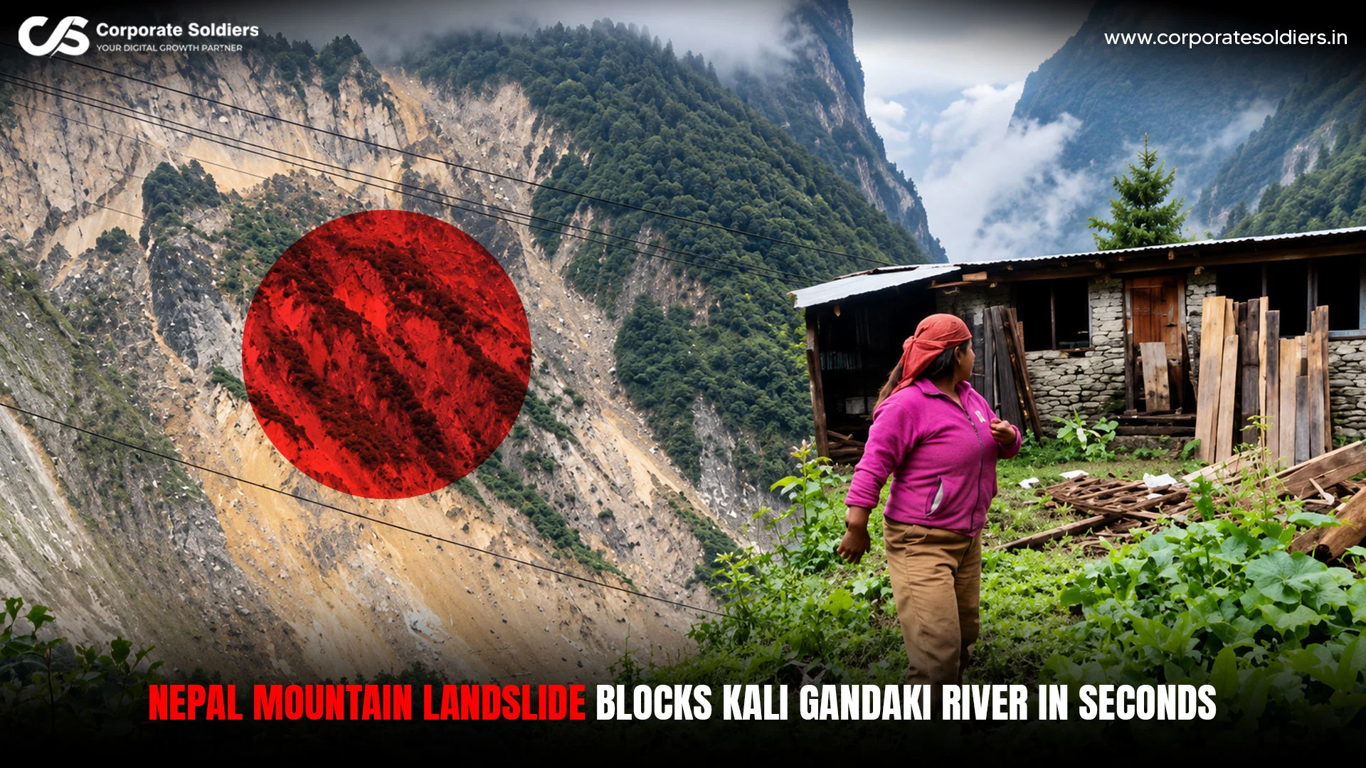
A massive Nepal mountain landslide near Lete in Mustang District sent a large section of a mountainside crashing into the Kali Gandaki River on Sunday, September 27, 2026, temporarily blocking the river before the water broke through the debris.
The dramatic footage shows the mountainside collapsing in roughly six seconds as rock, soil and debris rush into the river. It has been confirmed that a large section of the mountain slope collapsed into the Kali Gandaki and briefly obstructed its flow.
The incident occurred during a period of heavy rainfall, flooding and landslides across several parts of Nepal.
What Happened in Mustang?
The collapse occurred near Lete in Mustang District on September 27. Heavy rain had affected the region when a large section of the mountainside suddenly gave way and slid into the Kali Gandaki River. The debris temporarily blocked the river, but water subsequently broke through the obstruction and continued downstream.
The key details are:
- Location: Near Lete, Mustang District, Nepal
- Date: September 27, 2026
- River: Kali Gandaki
- Event: Major mountainside collapse
- Impact: Temporary blockage of the river
- Afterward: Water broke through the debris
Despite some social-media descriptions of a mountain “melting” into the river, the footage shows a rapid slope collapse, not a mountain literally melting.
Why Did the Landslide Happen?
The Lete collapse happened during several days of heavy rainfall across Nepal.
Nepal’s National Disaster Risk Reduction and Management Authority reported that heavy to very heavy rainfall between September 24 and 27 caused widespread floods, mass movement, and other rain-related incidents. The authority reported 21 deaths, five missing people, and five injuries during that period.
More than 100 mm of rainfall was recorded at 186 monitoring stations, with Dedaun in Nawalparasi East recording 544.2 mm, according to figures reported by Nepal’s disaster authorities.
Heavy rainfall can increase slope instability, but available reporting does not establish a more specific geological cause for the individual Lete collapse.
Nepal’s Wider Flood and Landslide Crisis
According to the disaster authority’s September 28 figures, 256 rockslide incidents and 53 flood incidents were recorded between September 24 and 27 due to the Nepal Mountain Landslide.
Roads, bridges and other infrastructure were also damaged in several affected districts. Other mountain districts, including Manang, Myagdi and Baglung, experienced flooding and landslides during the same period.
Mustang and Manang Landslides Were Separate Events
Some coverage of the Nepal disaster also showed footage from Manang, where a separate landslide affected the Marsyangdi River.
That was a different incident from the Lete collapse in Mustang. The two events should therefore not be presented as one landslide or as footage from the same location.
Could the Nepal Landslide Affect India?
The Kali Gandaki flows downstream into India as the Gandak, linking Nepal’s river conditions with downstream areas. However, there is no confirmed evidence that the Lete landslide caused a destructive flood wave reaching India.
The flooding reported in Bihar and Uttar Pradesh was linked to the wider heavy rainfall and high Gandak River discharge, rather than directly to the Lete slope collapse.
September 29 Update: Kali Gandaki Corridor Still Disrupted
By September 29, the impact of heavy rain and landslides was still being felt across the Kali Gandaki corridor. More than 50 mudslides were reported along the Maldhunga–Beni–Jomsom road, while flooding damaged roads and disrupted access to Mustang and Myagdi.
The Korala border crossing was also affected, with more than 200 containers reportedly stranded, showing that the disruption had spread beyond roads to regional trade and transport.
Conclusion
The Nepal mountain landslide and subsequent flooding from September 24–29 caused major disruption across the Kali Gandaki corridor, damaging roads, blocking access to Mustang, and affecting border connectivity. Continued rainfall and unstable mountain slopes kept the risk of further landslides and flooding elevated in affected areas.